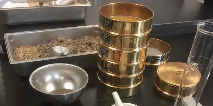
Peterborough sits on a complex geological mosaic: dense Oxford Clay to the west, Nene river terrace gravels through the city centre, and compressible fenland silts and peats to the east. Getting the particle size distribution (PSD) wrong here means misclassifying the ground entirely. A standard borehole log without a proper grain size analysis can miss thin silt layers that control drainage behaviour. The British Geological Survey maps this area as highly variable over short distances. We run the full sieve and hydrometer suite to produce a complete grading curve from coarse gravel down to the clay fraction. This data feeds directly into bearing capacity estimates, frost heave susceptibility checks, and filter design for land drainage systems common in the Fens. For sites with deep soft ground, combining this with a CPT test provides the continuous stratigraphic profile needed to correlate lab results with in-situ behaviour.
In Peterborough, the difference between a silty clay and a clayey silt changes your foundation design—and your drainage strategy.
Our approach and scope
Site-specific factors
A residential development on the eastern edge of Peterborough encountered unexpected settlement within two years of completion. The trial pits had logged the material as 'sandy clay', but no hydrometer analysis was done. When we re-tested samples from the foundation depth, the soil turned out to be 55% silt with a high void ratio. The grading curve showed a gap-graded material, highly susceptible to collapse upon wetting. The fix required underpinning three plots and installing perimeter drains to control groundwater migration through the silt lenses. Had a full sieve and hydrometer suite been run at design stage, the d10 and Cu values would have flagged the material as internally unstable. This is not an isolated case. Across the Nene floodplain, thin beds of wind-blown silt interleave with river gravels, creating perched water tables and differential settlement patterns that only a complete PSD curve can predict.
Regulatory framework
BS 5930:2015 – Code of practice for ground investigations, BS EN ISO 17892-4:2016 – Determination of particle density, BS EN ISO 14688-1:2018 – Identification and classification of soil, Eurocode 7 – BS EN 1997-2:2007 – Ground investigation and testing
Linked services
Atterberg Limits Testing
Liquid and plastic limit determination on the fine fraction. Together with the PSD curve, this classifies the soil under BS EN ISO 14688 and establishes its plasticity index for earthworks specification.
In-Situ Density Testing
Sand replacement or nuclear densometer testing on compacted granular fill. Correlating field density with lab-based PSD confirms that the placed material meets the specification gradation envelope.
Typical parameters
Q&A
How much does a grain size analysis cost for a Peterborough site?
A full sieve and hydrometer test on one sample ranges from £70 to £160, depending on whether it is a single PSD or part of a suite with Atterberg limits. Volume pricing applies for multiple samples from the same borehole or trial pit.
What sample mass do you need for a complete PSD curve?
We ask for at least 500 grams of fine-grained soil and 5 kilograms for predominantly granular material. The sample must be sealed in a plastic bag immediately after extraction to preserve natural moisture content.
How long does the hydrometer test take?
The sedimentation phase runs for a minimum of 24 hours, with readings taken at set intervals. Full reporting, including the combined grading curve and classification, is typically available within 3 working days from sample receipt.
Which soil classification system do you use for Peterborough projects?
We classify soils under BS EN ISO 14688-1:2018, which distinguishes between primary fractions (clay, silt, sand, gravel) based on particle size thresholds. This aligns with Eurocode 7 requirements for geotechnical reporting in the UK.