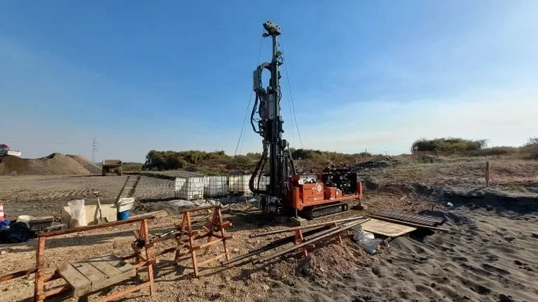
The geology between Hampton Vale and Dogsthorpe can shift from well-drained river gravels to the stiff, shrinkable Oxford Clays within half a mile. That is why an exploratory test pit in Peterborough does more than satisfy a planning condition — it gives the site team a physical window into what the auger log suggested. When we open a pit near the Nene floodplain we often find buried organics and soft alluvium that boreholes missed, and in Fengate the made ground can conceal old brick foundations from the Victorian brickworks. A test pit programme, properly logged and photographed, removes the guesswork from foundation depth calculations and service trench design. Our team uses the pit face to calibrate earlier CPT data and refine the ground model before structural loads are locked in.
A 2.5-metre pit on a Peterborough brownfield site gives more geotechnical certainty than a dozen speculative boreholes.
Our approach and scope
Site-specific factors
Much of central and eastern Peterborough sits on the Ampthill Clay and Oxford Clay formations, which are classified as high-plasticity, high-shrinkage soils. A shallow test pit here can reveal the depth of the weathered, fissured crust that controls foundation heave and shrinkage. If the pit is excavated in winter and the clay is saturated, the exposed face can soften within hours unless protected. Near the A605 and the energy-from-waste facility, we have encountered alkaline leachate staining in the upper fill horizon — a contamination indicator that demands immediate sampling and changes the waste classification for off-site disposal. Overlooking these signals in an exploratory test pit leads to foundation movements, service trench collapse, and expensive re-excavation later in the programme.
Regulatory framework
BS 5930:2015 + A1:2020 – Code of practice for ground investigations, Eurocode 7: BS EN 1997-2:2007 – Ground investigation and testing, BS 10175:2011 + A2:2017 – Investigation of potentially contaminated sites, CDM 2015 – Construction (Design and Management) Regulations
Linked services
Shallow Foundation Verification Pit
Excavated to 3.0 m or refusal, this pit confirms bearing stratum consistency, identifies soft spots, and allows a visual check on root penetration or desiccation. We log each face to BS 5930 and take bulk samples for plasticity index testing, giving the structural engineer the confidence to finalise footing dimensions without over-designing for unknown ground.
Utility & Obstruction Clearance Pit
On brownfield sites in Woodston or Eastgate, we use targeted test pits to physically expose buried activities, old basement walls, or backfilled tanks before the main excavation phase. Each pit is backfilled with engineered material and the location is surveyed to OS grid, so the digital site plan reflects exactly what lies beneath.
Typical parameters
Q&A
What is the typical cost of an exploratory test pit in the Peterborough area?
For a standard 2.5-metre pit with full BS 5930 logging, digital photographs, and a factual report, the cost typically falls between £350 and £630 per pit, depending on access constraints, spoil removal requirements, and the number of samples taken for laboratory testing.
How do you manage groundwater inflow during a test pit in the Nene valley?
When we anticipate groundwater above the pit base level — common in the alluvial deposits near the river — we schedule the excavation with a standby pump and measure the inflow rate and static water level after a 24-hour stabilisation period. If the inflow is high, we can install a small sump and record the data for the drainage design.
Can the pit be used for in-situ density testing at the same time?
Yes. Once the pit reaches the target horizon, we can perform a sand cone density test on the exposed surface or take block samples for laboratory compaction assessment. This is particularly useful on engineered fill sites where the compaction specification must be verified before structural fill placement continues.
What safety precautions apply to a 3-metre deep test pit?
Any pit deeper than 1.2 metres triggers the requirements of CDM 2015. We use a battered side slope where space permits, or install a proprietary trench box if vertical sides are necessary. The pit perimeter is fenced with Heras panels, and a banksman remains present during all excavation and sampling work.