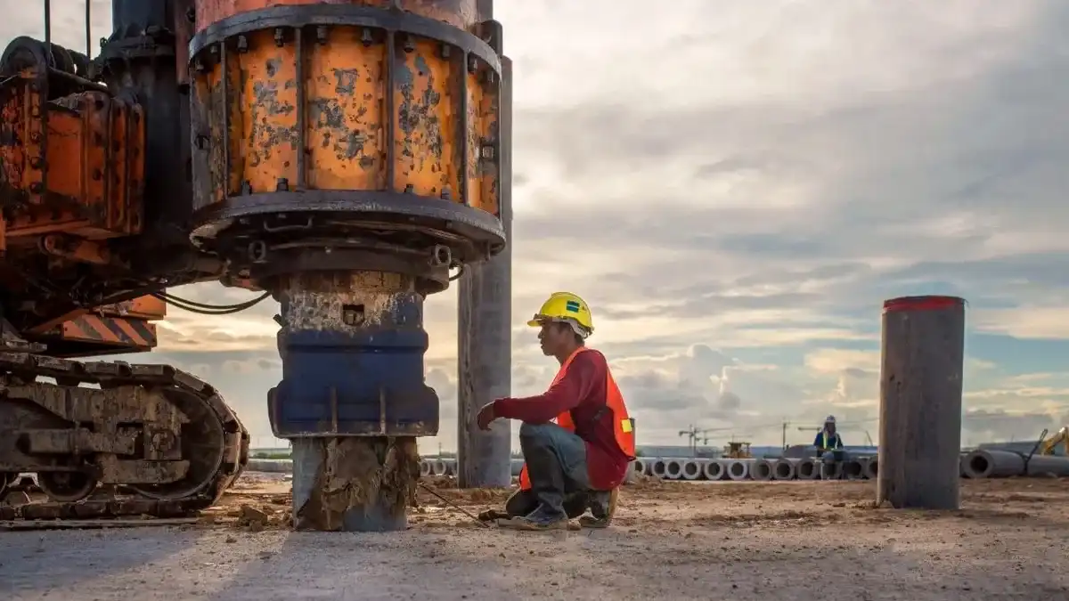
The geophone array stretches across the site in a linear spread—24-channel or 48-channel, depending on depth requirements—connected to a 24-bit seismograph that records surface-wave dispersion at sampling intervals as fine as 0.125 ms. In Peterborough, the dense Oxford Clay formation that underlies much of the city centre and the Nene Valley gravels create a layered velocity profile that demands careful parameter selection: a 2–3 m receiver spacing typically resolves the upper 30 metres with enough fidelity to satisfy the VS30 calculation requirements of Eurocode 8. A 10 kg sledgehammer source on an aluminium plate generates the broadband signal, and the resulting dispersion curve is inverted iteratively until the misfit between modelled and recorded phase velocities drops below 5%. For deeper targets—where the clay extends beyond 40 m before hitting the Lincolnshire Limestone—we switch to a weight-drop source and widen the array aperture, ensuring the fundamental-mode curve captures sufficient low-frequency energy for a reliable shear wave velocity profile. This approach aligns with the site investigation workflows we run alongside CPT testing when the ground conditions in Peterborough’s eastern expansion zones require both continuous penetration data and dynamic stiffness parameters.
VS30 values across Peterborough’s Oxford Clay typically fall in the 380–500 m/s range, placing sites in Ground Type B for Eurocode 8 seismic design.
Our approach and scope
Site-specific factors
Peterborough sits on the western edge of the Fen Basin, where Holocene alluvium and peat lenses can reach thicknesses of 5–8 metres in the lowest-lying areas near the Nene Washes. These soft, normally consolidated deposits produce shear wave velocities below 180 m/s, and if overlooked during seismic site classification, they can artificially lower the computed VS30 by 15–25% compared to a profile that starts in the underlying gravel or clay. The consequence is a site assigned to Ground Type D or even S1 under EN 1998-1, triggering higher design spectral accelerations and potentially more expensive foundation solutions. A second hazard specific to the Peterborough area is the presence of solution features in the Jurassic limestones at depth: voids or collapsed zones in the Cornbrash and Lincolnshire Limestone can attenuate surface-wave energy in ways that manifest as spurious low-velocity zones on an unconstrained inversion. By tying the MASW line to at least one borehole or CPT sounding—and by running a parallel seismic refraction profile where the velocity reversal is suspected—we can distinguish genuine soft ground from processing artefacts, keeping the ground model defensible during Building Control review.
Regulatory framework
BS EN 1997-2:2007 (Eurocode 7 – Ground investigation and testing), EN 1998-1:2004 (Eurocode 8 – Seismic actions, Section 3.1.2 for ground types), BS 5930:2015+A1:2020 (Code of practice for ground investigations)
Linked services
VS30 Site Classification for Seismic Design
Full VS30 computation from 2D MASW profiles, cross-checked with borehole stratigraphy, delivering the Ground Type (A–E) and elastic response spectrum parameters required by EN 1998-1 for new-build structures across Peterborough’s clay and gravel terrains.
1D and 2D Shear Wave Velocity Profiling
High-resolution VS cross-sections down to 40 m depth, suitable for dynamic soil-structure interaction modelling, liquefaction screening in saturated alluvial zones, and stiffness input for finite-element analysis of foundations on the Oxford Clay.
Typical parameters
Q&A
What does a MASW / VS30 survey cost for a typical residential plot in Peterborough?
For a standard 46 m array with 24 geophones and one source position—sufficient to resolve VS30 on a single residential plot—budget between £1,170 and £2,580 depending on access conditions, number of array spreads required, and whether supplementary borehole calibration is needed. Sites with heavy vegetation or restricted linear access (common in some Peterborough conservation areas) may require additional line clearing or a shorter array layout, which can adjust the final figure.
How long does a MASW survey take on site in Peterborough?
A single 24-channel array spread with hammer source typically takes 2–3 hours of field time, including geophone planting, multiple source impacts for stacking, and quality checks on the dispersion image. If two or three spreads are required to cover a larger commercial site, the field crew will usually complete acquisition within one working day, provided the ground surface is reasonably firm—Peterborough’s Oxford Clay can become slippery after rain, so we schedule surveys around the weather forecast whenever possible.
Is MASW reliable on the soft alluvial soils found near the River Nene?
Yes, but the data processing requires extra care. Soft alluvium generates a strong low-velocity layer that can dominate the fundamental-mode dispersion curve; if the inversion is run without mode identification, the resulting VS profile may underestimate the stiffness of deeper units. We run multi-mode analysis and constrain the model with borehole information so that the Oxford Clay velocity is correctly recovered beneath the alluvial cap, giving a VS30 value representative of the full 30 m column rather than just the surface soils.
What VS30 value should I expect for a site on Oxford Clay in Peterborough?
Stiff Oxford Clay in the Peterborough area typically yields VS30 values between 380 and 500 m/s, which places the site in Ground Type B under EN 1998-1 Table 3.1. Where the clay is overlain by river gravels or thin alluvium, the weighted average remains within Type B. Sites within 200 m of the Nene’s current floodplain can dip into Type C (180–360 m/s) if the soft deposits exceed 5–6 m thickness, and we recommend a site-specific measurement rather than relying on regional maps for these locations.